Location History Visualizer Pro
In-depth analysis of your Google Location History for Mac, Windows, & Linux

Location History Visualizer Pro processes the raw Google Location History recorded by your smartphone and converts it into an interactive map.
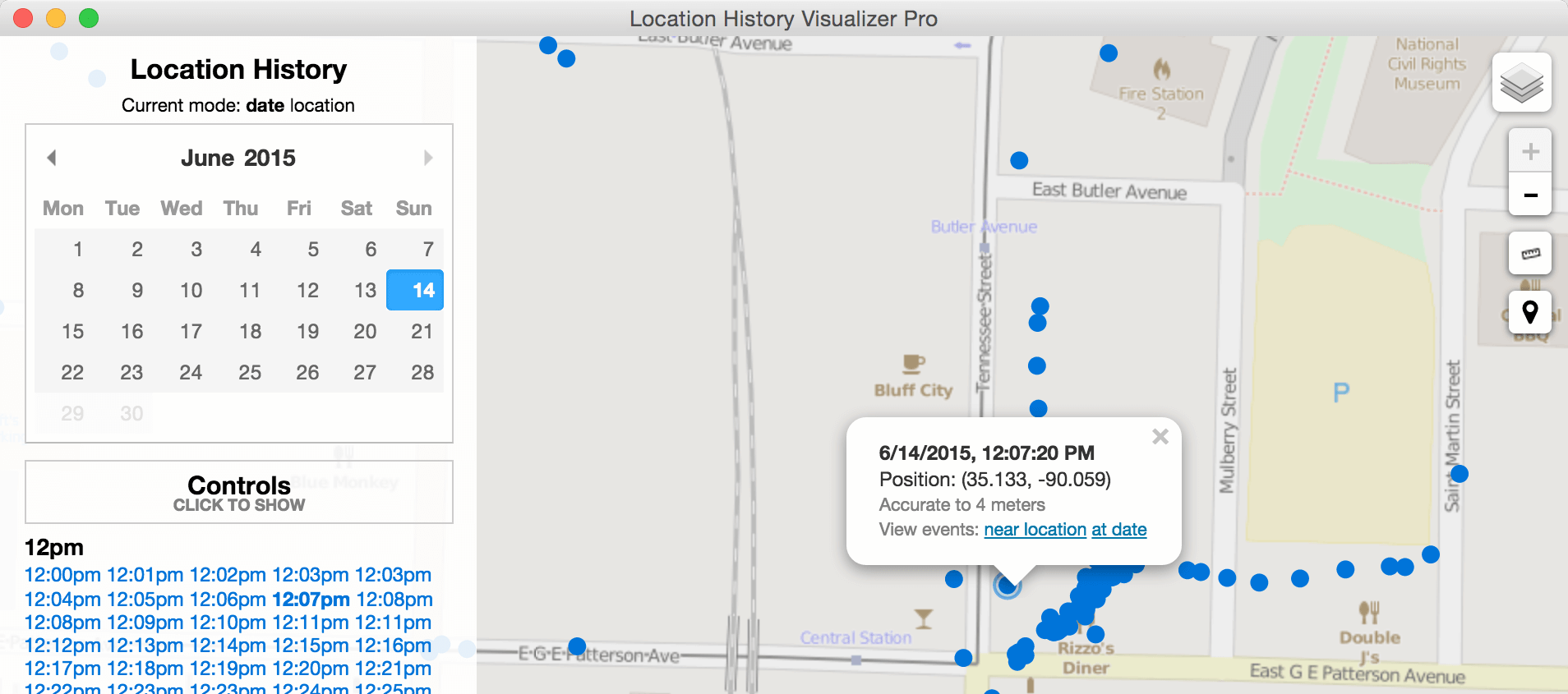
View each individual location recorded, with second-by-second precision. See accuracy information for each point, by the meter and displayed visually on the map.
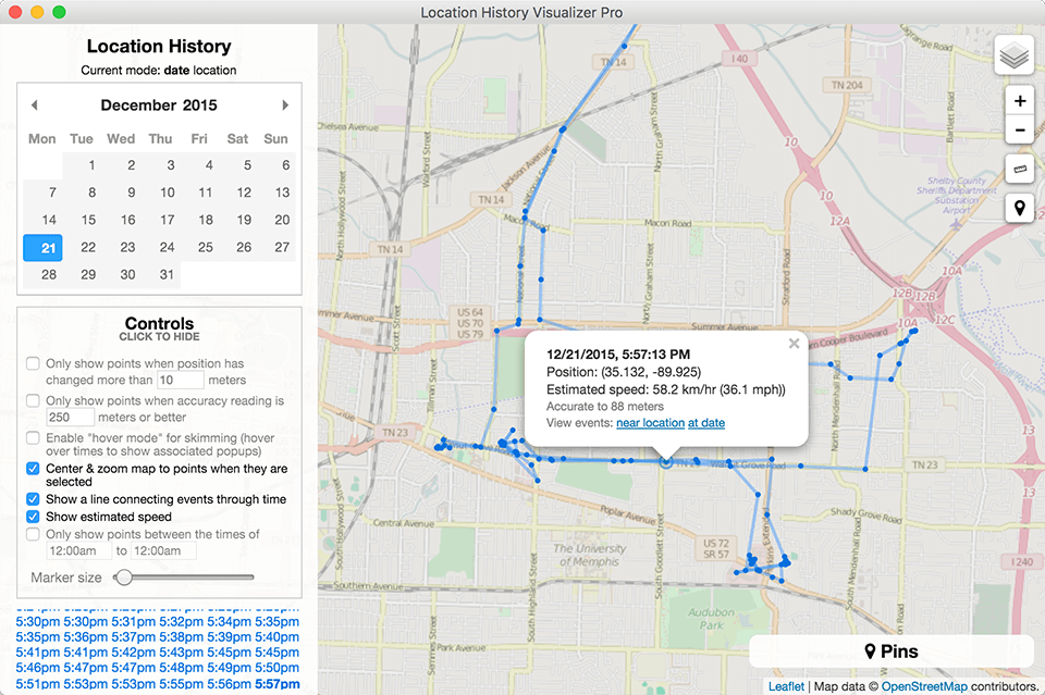
View all points around a specific location: search by address, place name, or latitude and longitude. Filter points by accuracy, distance traveled, time, and more.
Highlight gaps in the data so they stand out for further analysis. Rapidly switch between location and date-based views. Mark points of interest using custom markers.
Process data recorded by any device with Google location services enabled—Android or iOS—and view it using any computer—Windows, Mac, or Linux.
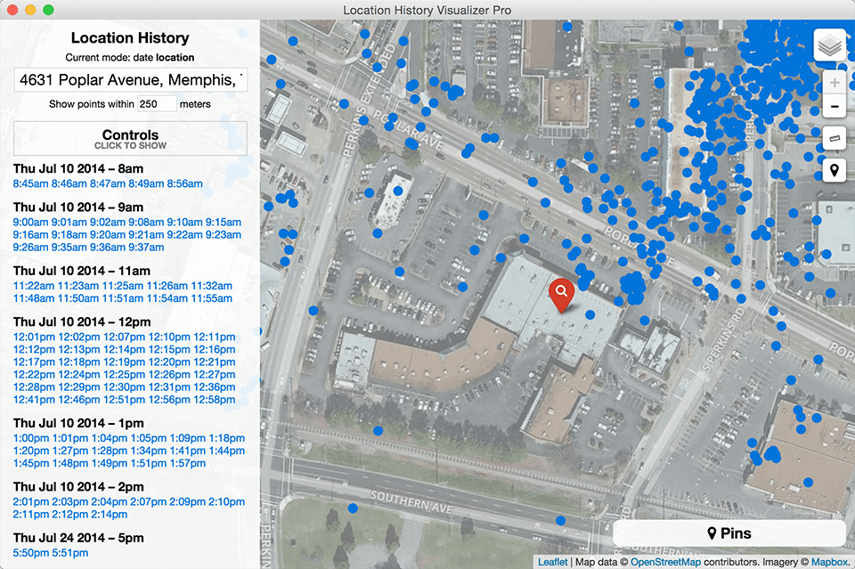
Enable satellite imagery directly in the viewer, in order to view locations themselves. Then enable the measurement tool for even more detailed investigation.
Filter by just about anything. Go from hundreds of thousands of locations to just the important few in a matter of minutes.
Enter an address and instantly view all the points recorded around that location. Then tune your radius and desired filters.
Pin an unlimited number of locations of interest. Add custom comments. And import and export your pins for further analysis.
Both consumer and enterprise offerings are available.
Looking for a heatmap of your location history? Try our free tool.
Reach out to our sales or customer support team and receive a response within one business day, guaranteed.


